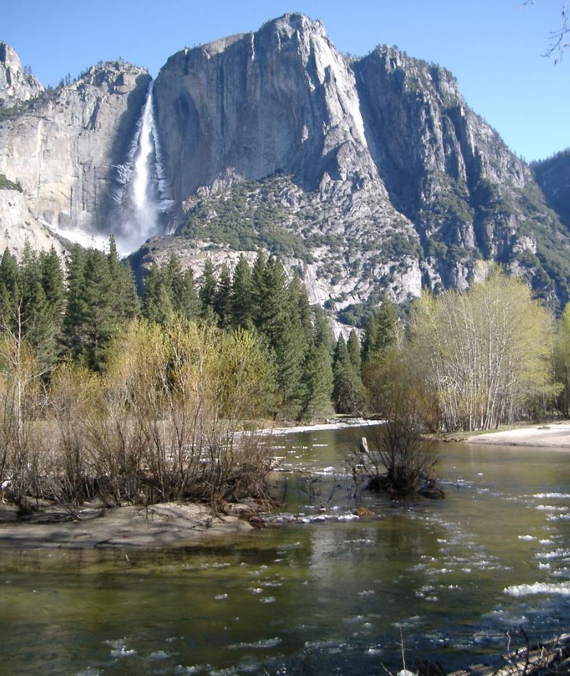
Just before walking up 4 Mile Trail (about a decade ago). Stayed at Camp 4 the night before. Cold snap late fall. Brrrr.
Open main menu button
REMINDER: THE ARENA PLATFORM, INC. has no obligation to monitor the Forums. However, THE ARENA PLATFORM, INC. reserves the right to review any materials submitted to or posted on the Forums, and remove, delete, redact or otherwise modify such materials, in its sole discretion and for any reason whatsoever, at any time and from time to time, without notice or further obligation to you. THE ARENA PLATFORM, INC. has no obligation to display or post any materials provided by you. THE ARENA PLATFORM, INC. reserves the right to disclose, at any time and from time to time, any information or materials that we deem necessary or appropriate to satisfy any applicable law, regulation, contract obligation, legal or dispute process or government request. Click on the following hyperlinks to further read the applicable Privacy Policy and Terms of Use.
*** Official Backpacking Thread ***
- Thread starter afoaf
- Start date

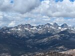
the year was 1988... wonder if anyone can guess the spot
some super popular landmarks visible so i'm betting it will be easy
some super popular landmarks visible so i'm betting it will be easy
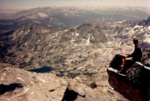
Correct mountain range! The Sierras. The range of light.Alta Peak?
But this peak is quite a bit north of Sequoia and a little bit west
You may have read about Muir's first ascent of the peak right next to this one. He scared the sh!t out of himself and thought he was going to die.
Last edited:
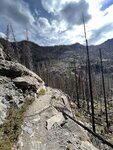
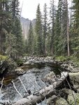
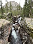
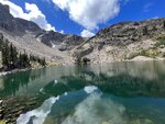
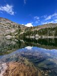
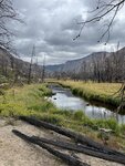
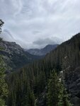
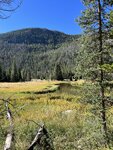
Did a few nights a couple weeks ago up in the Rockies fishing a small creek and an alpine lake while in CO. Variable weather as expected.

one of the guys who was on the trip with me back in 88 snapped this pic of the peak a couple weeks ago...the year was 1988... wonder if anyone can guess the spot
View attachment 163570
some super popular landmarks visible so i'm betting it will be easy
zooming in and travelling back in time to 2018 for pictures of east and west faces taken at the beginning of a trip to yosemiteone of the guys who was on the trip with me back in 88 snapped this pic of the peak a couple weeks ago...
View attachment 163618
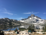
Close to Banner Peak?the year was 1988... wonder if anyone can guess the spot
View attachment 163570
some super popular landmarks visible so i'm betting it will be easy
right on top of Banner Peak in fact!Close to Banner Peak?
we ascended from Lake Catherine and one of the girls snapped that pic of me up on top
of all that peaks i've bagged, Banner is my fav
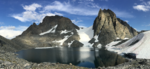
one more shot taken back in 2018 from Blue Lake facing east towards the Minarets with Banner and Ritter on the left end of the distant horizon
Thought it could have been Davis or Ritter...never been to that part of the Sierra. I've been trying to get a friend to hike to the top of Banner Peak with me for a while.
You bring an ice ax with you, crampons? Doesn't look like it in the summer picture....you do this in Sept? August? Been told it is easier/faster with some snow.
You bring an ice ax with you, crampons? Doesn't look like it in the summer picture....you do this in Sept? August? Been told it is easier/faster with some snow.
keep in mind we were coming up from Lake Catherine where we were camped on the west side of Ritter/Banner. i think most folks ascend via Ediza and the Nydivers on the east, right?Thought it could have been Davis or Ritter...never been to that part of the Sierra. I've been trying to get a friend to hike to the top of Banner Peak with me for a while.
You bring an ice ax with you, crampons? Doesn't look like it in the summer picture....you do this in Sept? August? Been told it is easier/faster with some snow.
anyway, none of us had axes/spikes but *absolutely* should have had them for the route we choose for descent
it was something like this....
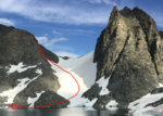
absolute madness without spikes and ax. sooooooo dumb.
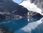
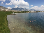
Lake Catherine in 2008. 'They' said that glacier would be gone in 10 yrs...looks like it's still there. Love that whole area...there's a really neat glacier moraine at the base of Banner Peak behind Thousand Island Lake.keep in mind we were coming up from Lake Catherine where we were camped on the west side of Ritter/Banner. i think most folks ascend via Ediza and the Nydivers on the east, right?
anyway, none of us had axes/spikes but *absolutely* should have had them for the route we choose for descent
it was something like this....
View attachment 163665
absolute madness without spikes and ax. sooooooo dumb.