I celebrated with a beer. It may have been ****-warm at this point but man, was it refreshing. In hindsight, I would have saved it for the return trip. The three I left in camp were waiting, though.

Big Pothole Lake

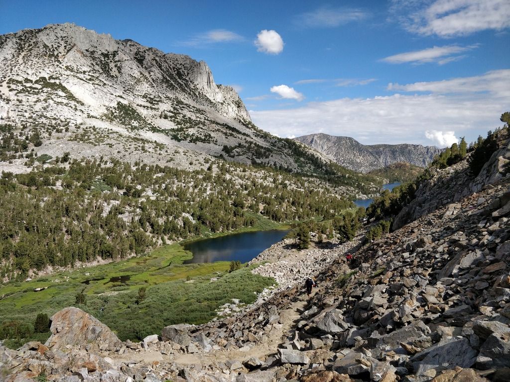
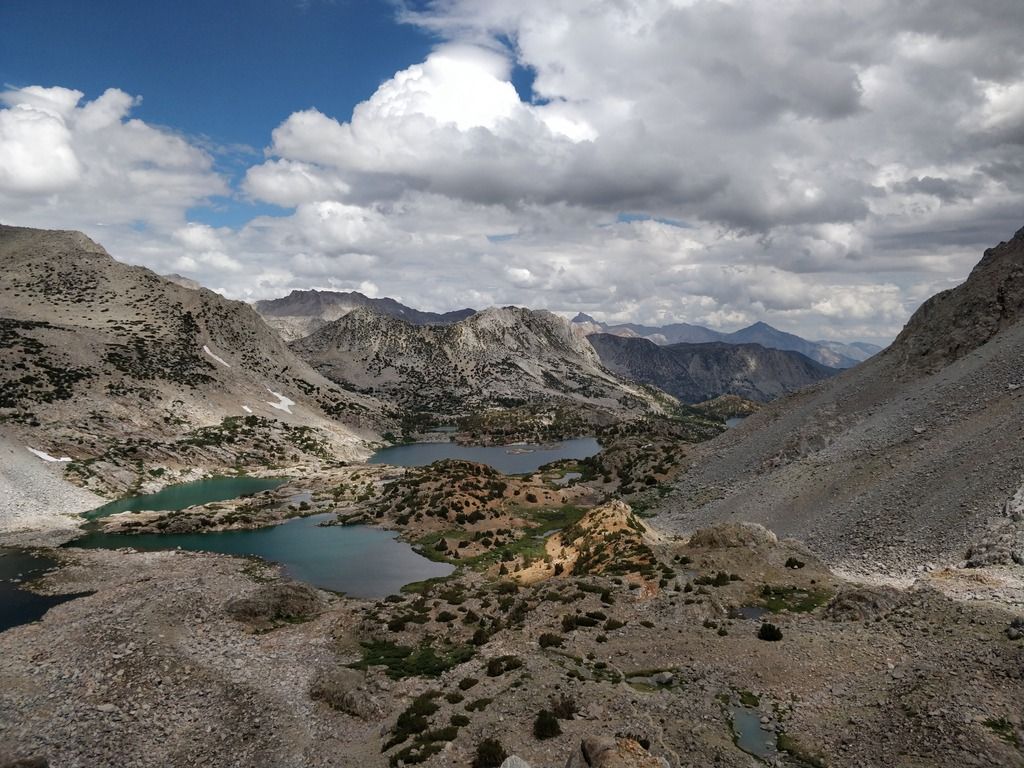
Looking down from the top of the pass. Kersearge Lakes are in the center left. Bullfrog Lake is in center-right of photo.

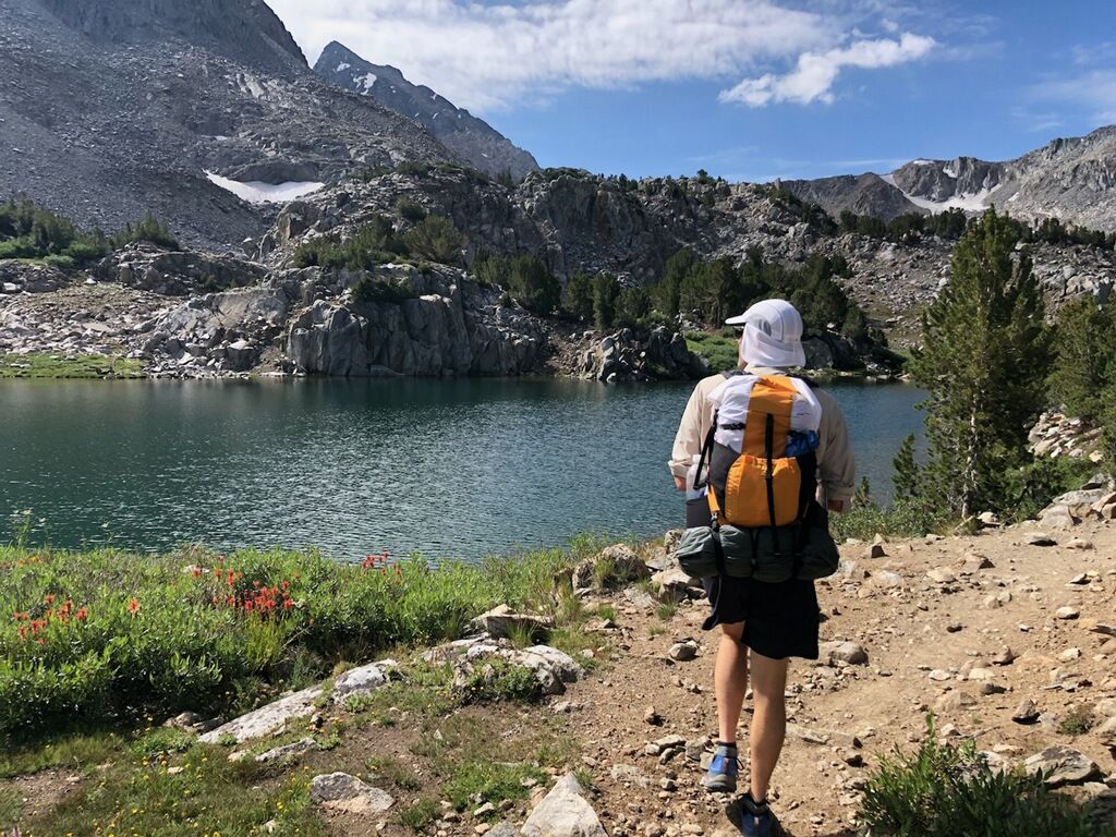
One of the Kersearge Lakes. Several groups were camping down there around the lakes. Really picturesque.

Kersearge Lakes

And one more of the Kersearge Lakes

Big Pothole Lake
Looking down from the top of the pass. Kersearge Lakes are in the center left. Bullfrog Lake is in center-right of photo.
One of the Kersearge Lakes. Several groups were camping down there around the lakes. Really picturesque.
Kersearge Lakes
And one more of the Kersearge Lakes


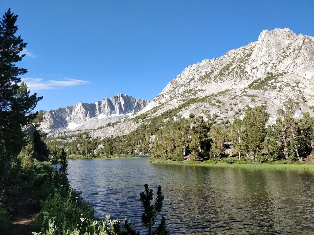
 . It's still super green and the creeks are healthy and loaded with golden trout. People horseback on that side of the mountain a lot but I didn't see anyone or any cars during this trip.
 but would be good to get a telescoping rod. A PLB is a good idea for long trips. I know what you mean about priorities because, damn, the costs start to add up fast.